Building Surveying
Apr 30, 2025
How Drone Property Surveys Are Revolutionising the UK Housing Market
Buying a property in UK does not need to take forever. Now you don’t need to wait for weeks to get your Home Survey.....
Buying a property in UK does not need to take forever. Now you don’t need to wait for weeks to get your Home Survey Report. With advanced technology like drone property surveys you can get the property details in days.
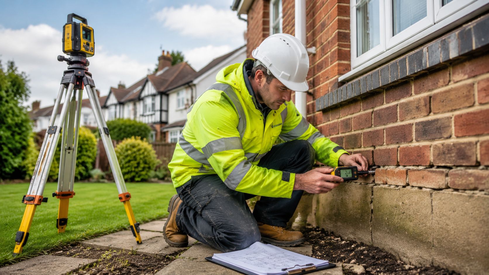
Where traditional property surveys can be limited, drone survey technology is revolutionising the home-buying process as an add-on feature to a building survey. With detailed aerial imagery, 3D mapping, and analytical data, drone property surveys give buyers confidence in the buying process.
According to recent reports, over 80% of surveyors believe drones improve report quality for less cost.
In this blog, we’ll dive deep and explore how drone property surveys are taking over traditional surveying methods.

Drone property surveys reduce completion times and costs by ascertaining the condition of the property in hard-to-see places. On average, surveying a property with drones takes a few hours and costs around £500.
Drones are able to obtain external imagery faster and better than people on land. A DJI Phantom 4 Pro drone can map 100 acres in just 30 mins. It would take days or weeks to map the same area on foot with old ways. Quick data means property checks and sales happen faster.
Drones have high-resolution cameras and sophisticated photogrammetry software to capture intricate images of a property from various perspectives. If you want you can even merge them into a precise 3D model. The major perk of these models is a comprehensive depiction of the property's condition and boundaries.
Moreover, the dimensional accuracy enables buyers and sellers with the following useful info:
It is quit hard to access areas like rooftops, chimneys, or land surrounding the property through traditional survey techniques, whereas drone aerial vantage points provide a holistic view of a property. Additionally, drones can even survey hazardous areas safely without putting surveyors at risk.
As drone technology continues to advance rapidly, drone surveys are poised to become the new industry standard for assessing specific aspects of property (e.g. the roof) comprehensively, but will always be supplementary to a full building survey if you are buying a dwelling.
For both buyers and sellers, drone surveys offer an affordable solution to gain valuable insight into one of life’s biggest financial decisions.
Drones take really good pictures and measurements of places as they have special cameras and LIDAR tech. Obscure aspects can be viewed up close and from different angles.
This new tech helps people who work with houses know more about their size, shape, and condition which enables them to determine the property value more accurately.

Another significant advantage of drone surveys is enhanced safety. Unlike traditional methods that often involve surveyors climbing onto rooftops or scaling high areas, drones can capture images and measurements from the air, eliminating the need for risky manoeuvres.
This approach minimises the risk of injury or accidents associated with conventional survey techniques. Additionally, drones do not require surveyors to access or disrupt tenants currently residing in a property, further enhancing safety and convenience.
Table 1.1 Comparison of Traditional Roof Survey vs. Drone Property Surveys
In the UK, using drones for property checks means obeying strict safety rules. The Civil Aviation Authority (CAA) makes these rules, requiring training and signing up for business drone operators. Following the Drone Code is a must, emphasising safe flying practices like keeping drones away from people and buildings.Drone regulations vary based on factors like drone weight and usage. Privacy laws also come into play, preventing unauthorised data collection. The UK government updates these laws regularly to keep up with technological changes.Drone operators in property surveys must stay updated on these regulations to ensure compliance and safety.Drone operators in property surveys must stay updated on these regulations to ensure compliance and safety.